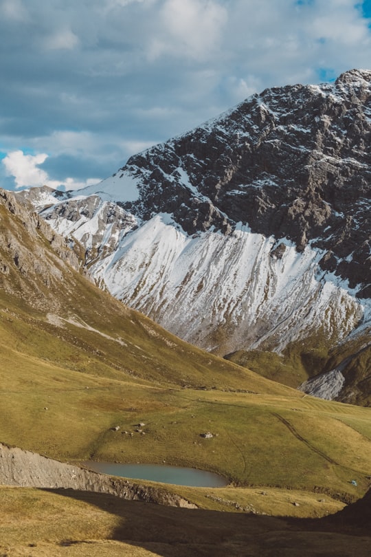
Travel Guide of Maloja Pass in Switzerland by Influencers and Travelers
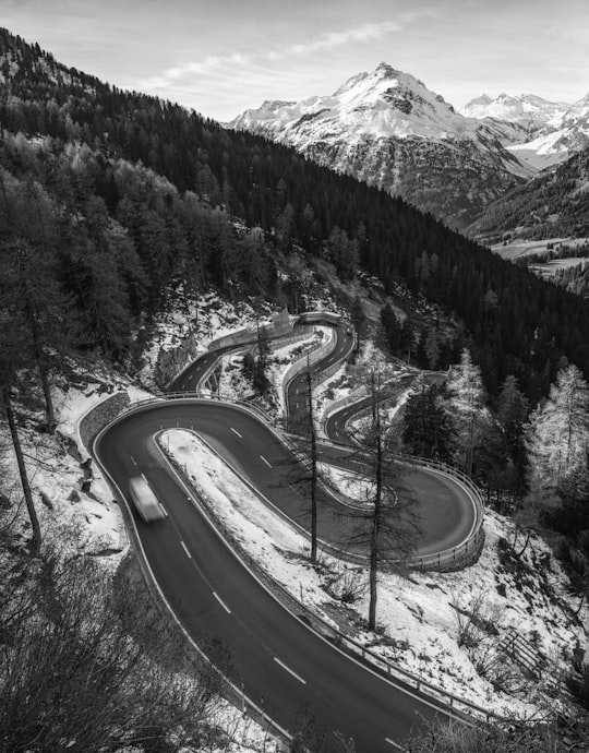
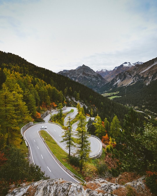
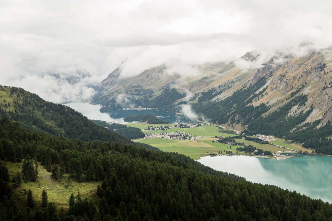
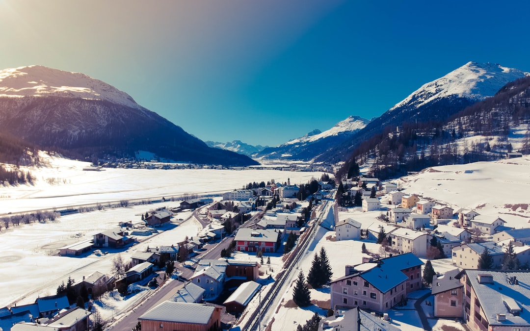
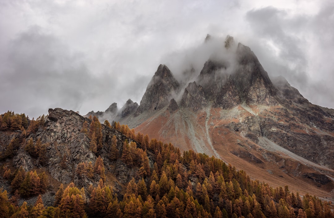
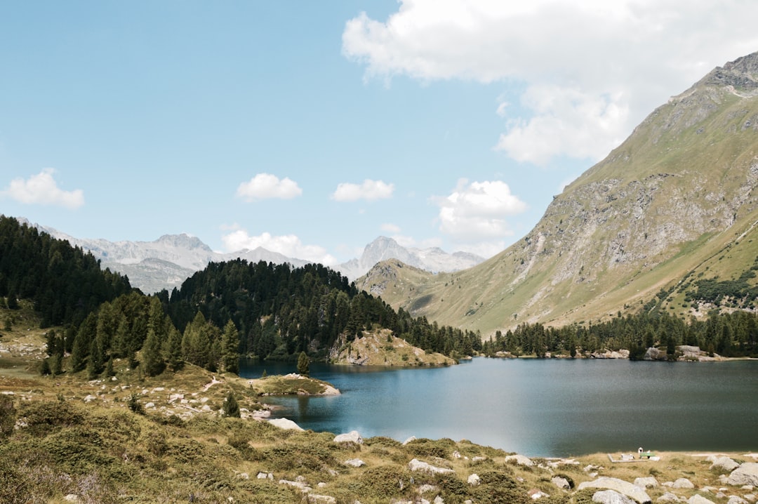
Maloja Pass is a high mountain pass in the Swiss Alps in the canton of Graubünden, linking the Engadine with the Val Bregaglia, still in Switzerland and Chiavenna in Italy. It marks the divide between the Danube and Po watersheds. Lägh da Bitabergh is near the pass. The road from Chiavenna to Silvaplana with distances and elevation: 0 km Chiavenna 333 m 10 km Castasegna 696 m 13 km Promontogno 802 m 16 km Stampa 994 m 18 km Borgonovo 1029 m 19 km Vicosoprano 1065 m 27 km Casaccia 1458 m 32 km Maloja Pass 1815 m 33 km Maloja 1809 m 40 km Sils im Engadin/Segl 1798 m 44 km Silvaplana 1802 m The Maloja Pass is open in winter.
Download the Travel Map of Switzerland on Google Maps here
Pictures and Stories of Maloja Pass from Influencers
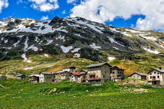
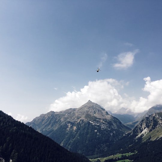
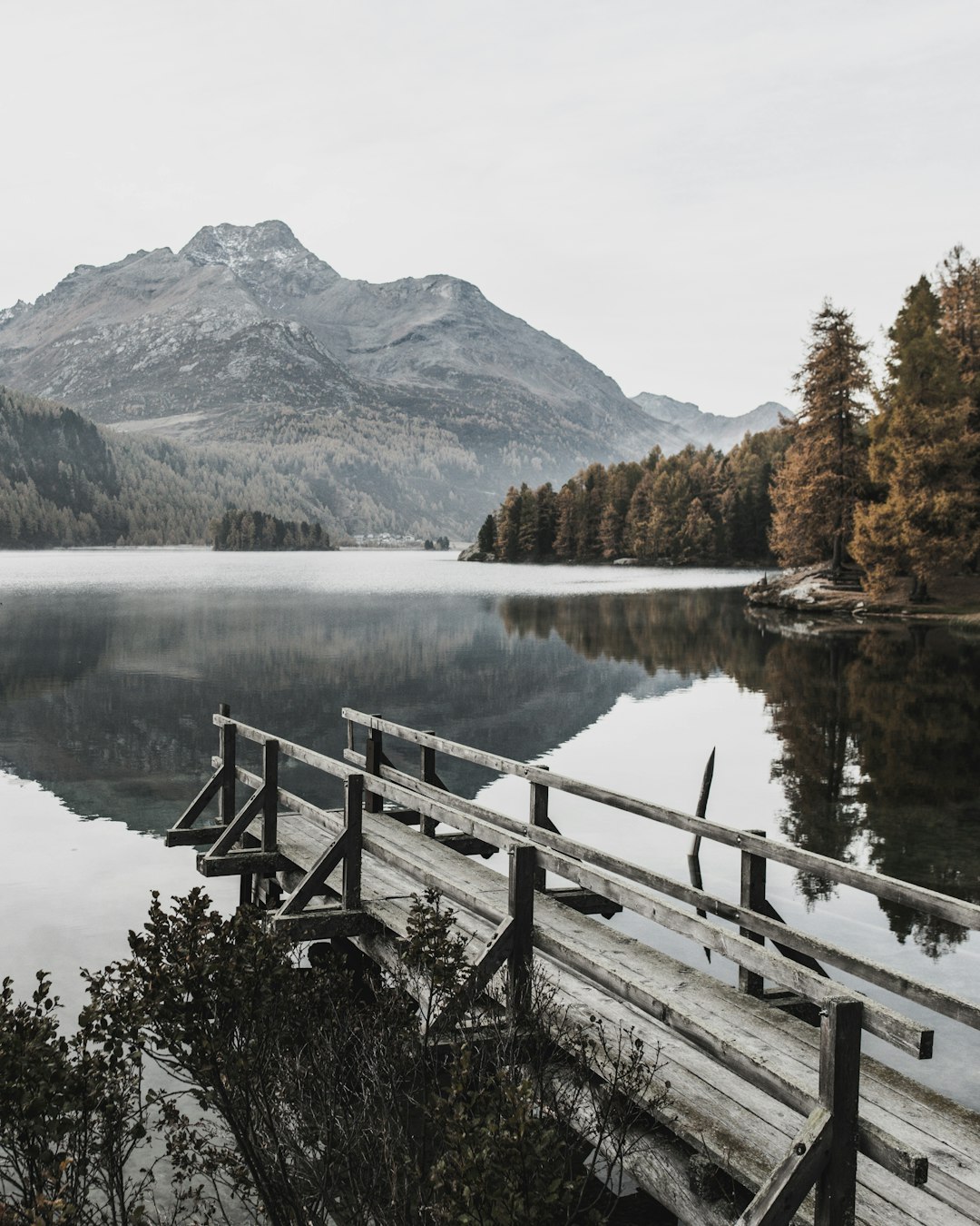
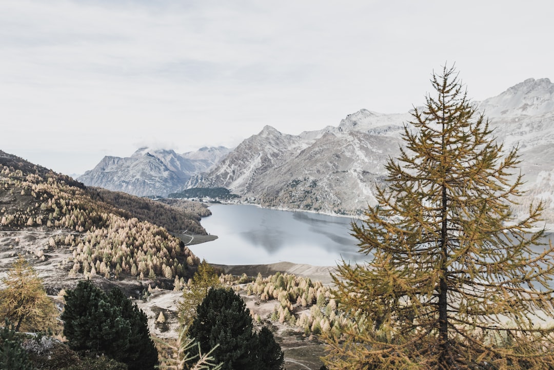
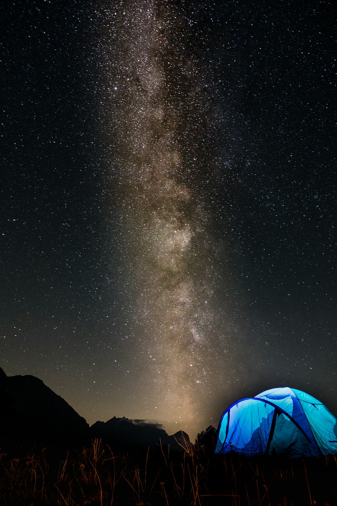
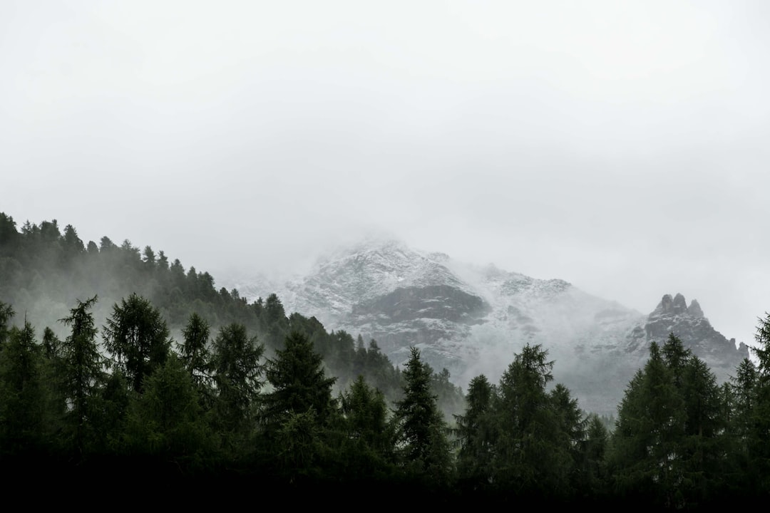
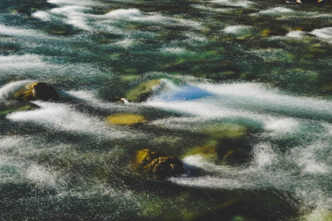
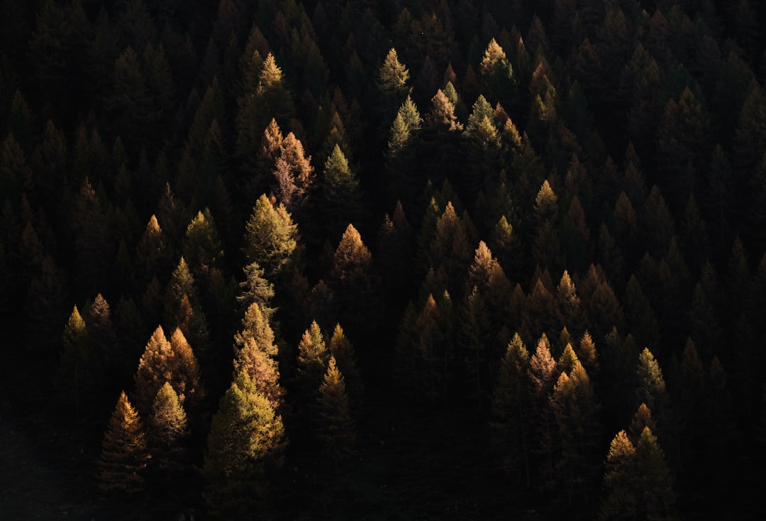
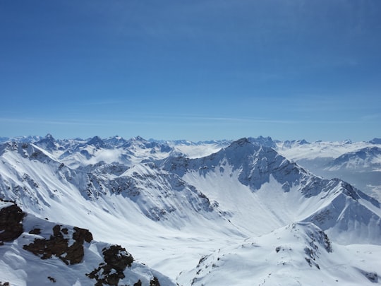
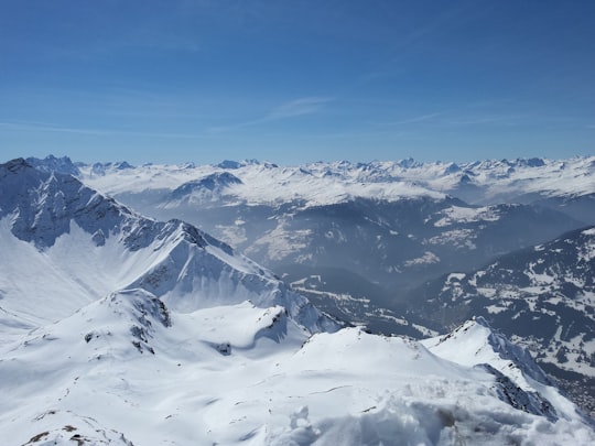
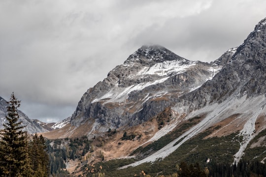
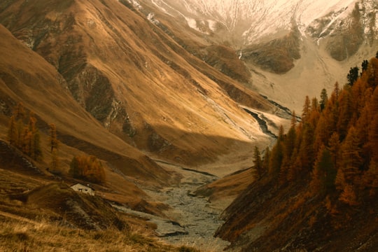
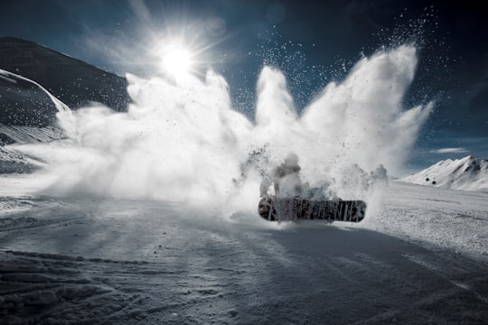
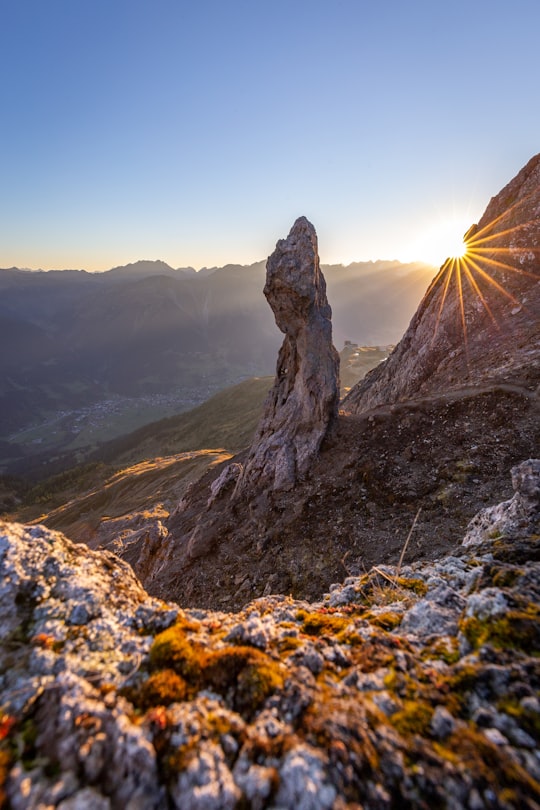
4 pictures of Maloja Pass from Samuel Ferrara, Johannes Hofmann, Ricardo Gomez Angel and other travelers
Plan your trip in Maloja Pass with AI 🤖 🗺
Roadtrips.ai is a AI powered trip planner that you can use to generate a customized trip itinerary for any destination in Switzerland in just one clickJust write your activities preferences, budget and number of days travelling and our artificial intelligence will do the rest for you
👉 Use the AI Trip Planner
Book your Travel Experience at Maloja Pass
Discover the best tours and activities around Maloja Pass, Switzerland and book your travel experience today with our booking partners
Map of Maloja Pass
View Maloja Pass on a map with the the closest popular places nearby
Download On Google Maps 🗺️📲
More Travel spots to explore around Maloja Pass
Click on the pictures to learn more about the places and to get directions
Discover more travel spots to explore around Maloja Pass
⛰️ Hill station spots Mountain pass spots ⛰️ Mountain range spotsWhere to Stay near Maloja Pass
Discover the best hotels around Maloja Pass, Switzerland and book your stay today with our booking partner booking.com
Popular destinations near Maloja Pass
Disover the best Instagram Spots around Maloja Pass here
Pontresina
9 km (5.8 miles) away from Maloja Pass
Pontresina is a municipality in the Maloja Region in the canton of Graubünden in Switzerland.
Travel guide of Pontresina
Madulain
28 km (17.3 miles) away from Maloja Pass
Madulain is a municipality in the Maloja Region in the Swiss canton of Graubünden.
Travel guide of Madulain
Schmitten (Albula)
32 km (19.9 miles) away from Maloja Pass
Schmitten is a municipality in the Albula Region in the canton of Graubünden in Switzerland.
Travel guide of Schmitten (Albula)
